

Part II of the MTD Investigates MH370 Series
By 2:22 a.m. on 8 March 2014, conventional radar had effectively lost Malaysia Airlines Flight MH370.
The Boeing 777 had already turned away from Beijing, crossed Malaysia and continued northwest beyond the Strait of Malacca.
Then the radar trail ended.
For investigators, it should have been darkness.
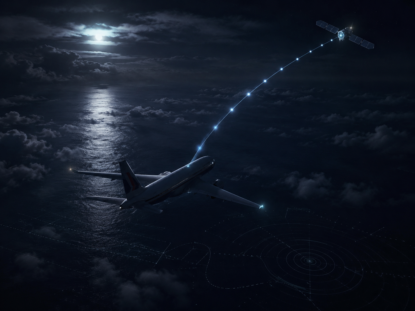
Instead, three minutes later, a machine aboard MH370 quietly spoke again.
At 02:25:27 Malaysian time, the aircraft's satellite data unit initiated a log-on with the Inmarsat network.
There was no message from the captain.
No coordinates.
No Mayday.
No explanation.
Just an automated exchange between an aircraft nobody could find, an Inmarsat satellite positioned over the Indian Ocean region, and a ground station thousands of kilometres away.
Over the following hours, six more exchanges would help create the most important mathematical trail in modern aviation history.
They became known simply as the seven handshakes.
Those signals eventually sent the search for MH370 into the southern Indian Ocean.
But there is a distinction that has often disappeared from the public telling of the story:
The satellite did not track MH370 across the ocean.
It never received seven GPS positions.
It did not watch a Boeing 777 fly south.
Instead, engineers took communication metadata from a system never designed to perform conventional aircraft tracking and used it to constrain where MH370 could have been.
That difference is the centre of Part II.
How much did the seven handshakes actually prove?
And how much had to be reconstructed?
The Signal Nobody Expected to Matter

MH370 used an Inmarsat satellite in the Indian Ocean Region to support satellite communications.
The satellite was designed primarily for communications, not continuous aircraft tracking.
Every communication between the aircraft and the ground station therefore left technical metadata behind.
After MH370 disappeared, those otherwise mundane records became invaluable.
At 18:25:27 UTC, equivalent to 02:25:27 Malaysian time, the aircraft initiated a new satellite log-on.
From that point, the ground station recorded a series of exchanges over the following hours.
Two attempted satellite telephone calls from Malaysia Airlines also reached the aircraft's satellite system.
Neither was answered.
At 00:19 UTC came the final aircraft-initiated log-on.
After that, MH370 left no further successful satellite communication trail.
Seven Handshakes Were Not Seven Locations
The word handshake sounds almost more precise than it really was.
A handshake is essentially a signalling exchange confirming that communication can be established or maintained between the aircraft's satellite terminal and the ground network.
The ground station recorded two especially important values:
Burst Timing Offset, or BTO.
Burst Frequency Offset, or BFO.
Together, they became the foundation of the search.
But neither gave investigators the aircraft's latitude and longitude.
The seven handshakes were not seven dots on a map.
They were measurements from which possible positions and candidate flight paths had to be derived.
BTO: How Far, Not Where
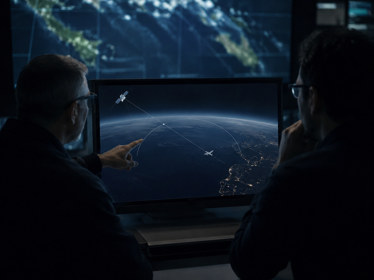
BTO measured the round-trip timing of a signal travelling from the ground station to the satellite, onward to the aircraft, and back.
Because radio signals travel at a known speed, engineers could use that timing to calculate the approximate distance between the satellite and MH370.
That produces a powerful constraint.
But not a unique position.
Imagine knowing that somebody is exactly 500 kilometres from you.
That does not tell you whether they are north, south, east or west.
They could be anywhere along a circle around you.
The same principle applied to MH370.
Each BTO measurement produced a possible location ring on the Earth's surface.
ATSB validation using periods when MH370's actual location was still known found the resulting lines of position accurate to approximately plus or minus 10 kilometres.
That is impressive for a communications system never intended to be a traditional tracker.
But a ring stretching across an enormous part of the globe is very different from a GPS coordinate.
Investigators still had to determine where along that ring the aircraft could realistically have been.
Speed mattered.
Fuel mattered.
Aircraft performance mattered.
The previous radar position mattered.
Locations that MH370 could not physically have reached could be eliminated.
BTO answered one question remarkably well:
How far was MH370 from the satellite at that moment?
It could not answer another:
In which direction?
That is where BFO became critical.
BFO: More Than Doppler

Anyone who has heard an ambulance approach and then recede has experienced the Doppler effect.
The received frequency changes with relative motion.
Something related happened in MH370's satellite transmissions.
The ground station recorded the difference between the frequency it expected to receive and the frequency that actually arrived.
That difference was the Burst Frequency Offset.
BFO contained information about the relative movement of the aircraft, satellite and ground station.
But it was not a simple Doppler speedometer.
The satellite itself moved.
The aircraft's satellite system applied its own Doppler compensation.
The aircraft's heading and speed mattered.
Vertical motion mattered.
And the transmitted frequency was also affected by the Satellite Data Unit's internal frequency reference.
Inside the SDU was an Oven Controlled Crystal Oscillator, or OCXO.
When the SDU was powered up after an interruption, the oscillator required time to return to thermal stability.
During that warm-up period, its output frequency drifted.
ATSB analysis specifically modelled this warm-up behaviour because it could materially influence the recorded BFO.
That means BFO was never simply:
Doppler equals direction.
Engineers had to separate several physical effects before the aircraft's motion could be inferred.
Even then, an individual BFO value did not correspond to one unique heading.
ATSB states that many combinations of aircraft speed and heading can be consistent with a BFO recording.
Investigators therefore created candidate paths satisfying the BTO ring and timing constraints and compared the BFO values predicted by those paths with those actually measured.
The closer the match, the more plausible the candidate path became.
That is the critical distinction.
The arcs were measurements. The routes connecting them were model-derived candidate paths.
North or South?

Early in the investigation, the satellite timing data allowed two enormous possibilities.
A northern corridor stretched broadly toward Central Asia.
A southern corridor extended deep into the Indian Ocean.
BTO alone could not fully resolve the ambiguity.
BFO helped break it.
When specialists compared the measured frequency offsets with candidate flight paths, southerly solutions increasingly fitted the later data more closely.
The Defence Science and Technology Group's probabilistic analysis found that by approximately 18:39 UTC, MH370 was likely travelling south.
From that point until 00:11 UTC, the analysed solutions continued on a southerly track.
That analysis used probabilistic assumptions about plausible aircraft behaviour, as any model must.
Different assumptions can alter the relative probability of individual candidate paths.
But the conclusion did not rest on a single statistical prior or one isolated calculation.
BTO constraints, BFO behaviour, aircraft performance, fuel endurance and later debris-drift analysis repeatedly converged toward the southern Indian Ocean.
That convergence matters.
The southern route was not selected because one person drew a speculative line on a map.
It emerged because multiple technical tests increasingly made the northern alternatives harder to sustain.
MTD therefore does not treat the southern Indian Ocean as a weak hypothesis.
It is one of the strongest conclusions produced by the post-radar evidence.
But strong does not mean exact.
What Happened Between the Arcs?

This is where the limits of the reconstruction become important.
At one handshake, MH370 had to be somewhere along one BTO-derived arc.
At the next handshake, it had to be somewhere along another.
What happened between those moments was not directly observed by the satellite.
Investigators created candidate paths at different speeds that satisfied the timing constraints, then tested those paths against BFO and the operational capabilities of a Boeing 777.
Some paths fitted the complete dataset much better than others.
Many could be rejected.
But there was no unique continuous line recorded in space.
A change in speed, heading or altitude could alter the path between two arcs.
A turn between handshakes could go unseen provided the aircraft still arrived at the next plausible arc position at the correct time and produced BFO values consistent with the measurement.
That is why the distinction matters:
The handshakes constrained the journey. They did not record every kilometre of it.
The Power of Independent Agreement

There is a temptation in mystery reporting to confuse uncertainty with arbitrariness.
That would be a serious mistake here.
The satellite analysis contained assumptions.
But those assumptions were constrained by physics.
Different specialist teams approached the problem from different directions.
SATCOM engineers analysed BTO and BFO.
DST Group used probabilistic flight-path analysis.
Boeing examined aircraft performance and achievable range.
Investigators considered fuel endurance.
Later, recovered debris and ocean-drift modelling provided another independent category of evidence.
These methods repeatedly pointed toward the southern Indian Ocean.
That does not create a perfect route.
It creates something more defensible:
convergence.
If different physical and statistical approaches point toward broadly the same region, confidence in that broad conclusion increases.
It does not turn probability into certainty.
But it makes the hypothesis that MH370 travelled thousands of kilometres north increasingly difficult to reconcile with the evidence.
The Seventh Arc
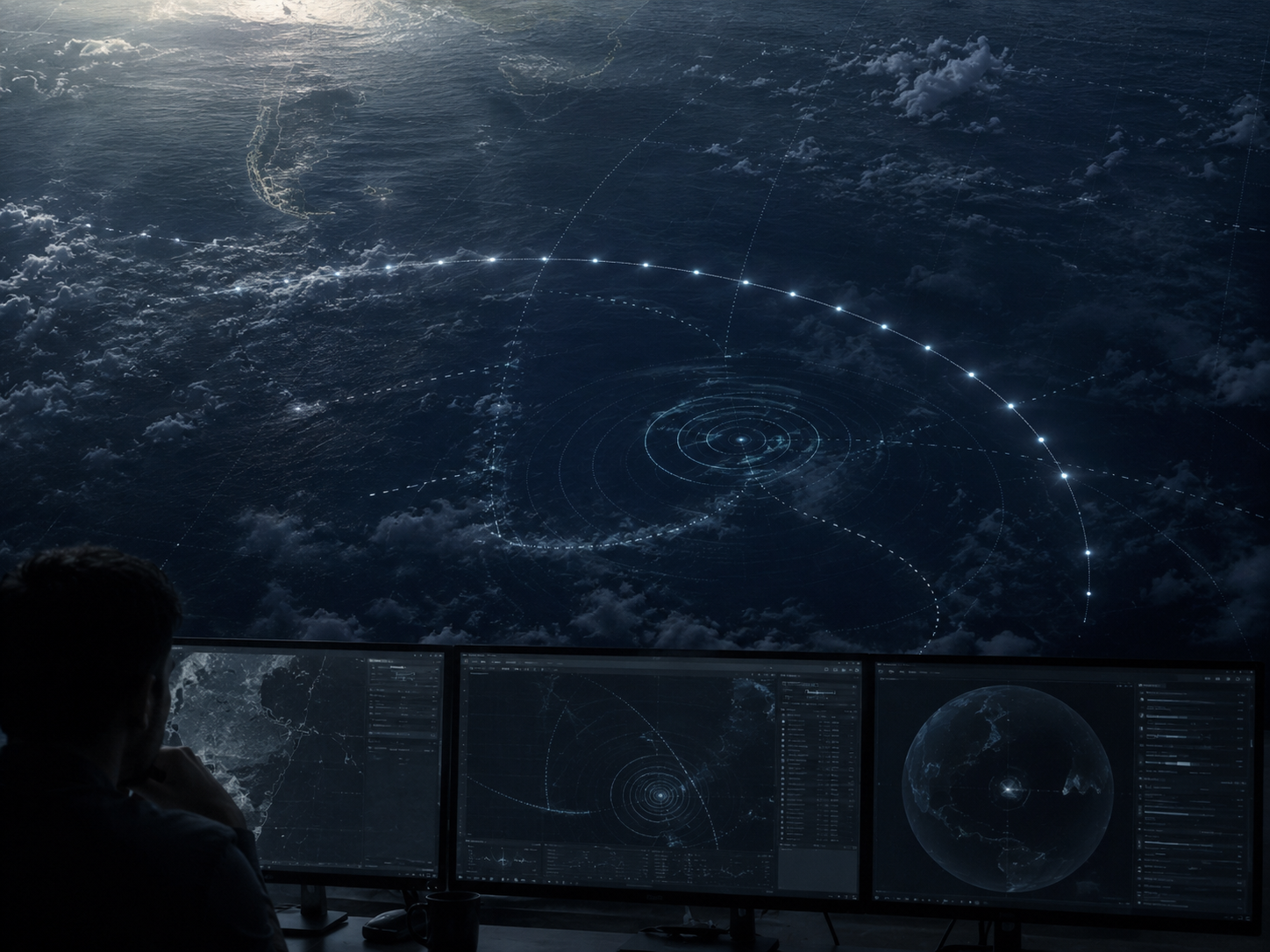
At 00:19 UTC, the aircraft initiated another satellite log-on.
This became the seventh handshake.
ATSB concluded that the event was consistent with the aircraft's satellite communications equipment powering up following an interruption to its electrical supply.
Fuel exhaustion was one possible explanation for that interruption.
The distinction is important.
The 00:19 log-on does not independently prove fuel exhaustion.
Nor does engine flameout automatically mean that every aircraft electrical system simultaneously loses power.
A Boeing 777 has a complex electrical architecture with multiple buses, automatic switching logic and backup sources.
What matters for the satellite evidence is narrower:
the SDU appears to have experienced a sufficiently significant interruption in its electrical supply to initiate a new log-on after power returned.
Investigators examined several possible electrical sequences capable of producing that behaviour.
Fuel exhaustion became especially important because the estimated fuel endurance of MH370 broadly aligned with the timing of the final satellite exchange.
ATSB's later operational-search analysis assessed the final log-on as probably related to fuel exhaustion followed by restoration of power to the SDU through the aircraft's auxiliary power system.
That made the seventh arc critical.
Search planners increasingly treated it as the line near which MH370 probably reached the end of its flight.
But once again:
The seventh arc was not a crash coordinate.
It was an enormous line of possible locations.
The mystery had narrowed from:
Which part of the world did MH370 fly toward?
to:
Where along this vast arc did its flight finally end?
That second question proved far harder.
The Final Frequency Shift
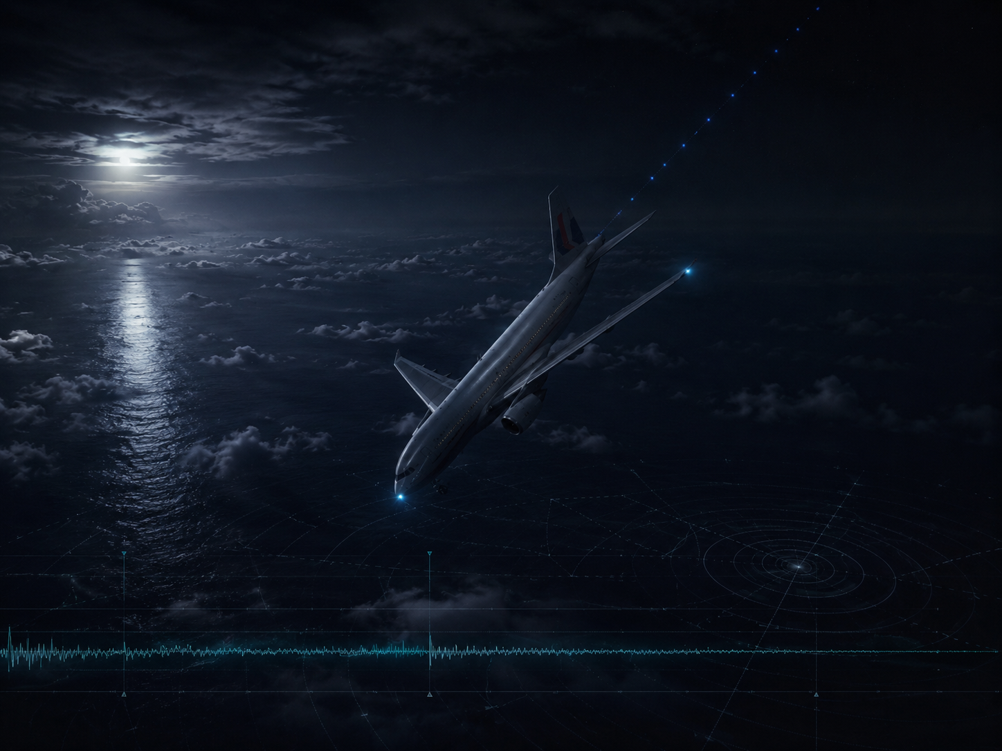
The last BFO values contain one of the most dramatic technical clues in the MH370 record.
For much of the later flight, recorded BFO values followed a pattern consistent with continued southbound travel.
Then the final values at 00:19 changed sharply.
But interpreting those final numbers requires particular caution.
The 00:19 messages followed an apparent SDU power-up.
That means the OCXO could still have been warming and its frequency could have been drifting.
ATSB therefore had to estimate how much of the observed BFO difference resulted from oscillator warm-up and how much remained to be explained by aircraft motion.
Previous data from 9M-MRO and manufacturer testing were used to model that behaviour.
Even after allowing for the oscillator effect and other technical uncertainties, the remaining BFO values were consistent with a substantial descent.
ATSB's operational-search analysis estimated that the aircraft may have been descending at approximately 2,900 to 15,200 feet per minute during the first final transmission, increasing eight seconds later to approximately 13,800 to 25,300 feet per minute.
Those figures are not direct vertical-speed measurements.
They are model-derived estimates subject to assumptions about SDU behaviour, OCXO warm-up and aircraft dynamics.
But if the modelling is broadly correct, MH370 was no longer in stable cruise around the seventh arc.
It was descending rapidly.
That conclusion became crucial when investigators estimated how far the wreckage might lie from the arc itself.
What the Handshakes Actually Tell Us
Strip away the mathematics, and the satellite evidence still produces several powerful conclusions.
- First: MH370 continued communicating with the satellite network for hours after conventional radar lost it.
- Second: the combined BTO, BFO and aircraft-performance evidence strongly supports a continued flight into the southern Indian Ocean.
- Third: the final successful satellite exchange occurred around 00:19 UTC, close to the aircraft's estimated fuel endurance.
- Fourth: the final BFO values, after accounting for significant technical assumptions including oscillator behaviour, were consistent with a rapid descent.
Those conclusions are strong.
But there are things the handshakes do not tell us.
They do not provide the exact route flown between every arc.
They do not identify who was controlling the aircraft.
They do not tell us whether anybody remained conscious in the cockpit.
They do not prove precisely what caused the 00:19 SDU power interruption.
They do not provide an exact impact coordinate.
And they do not establish motive.
That boundary between measurement and interpretation is essential to understanding MH370.
Did Inmarsat Find MH370?
No.
But that answer needs context.
Inmarsat achieved something extraordinary.
A communications system not designed as a conventional tracker allowed engineers to transform routine metadata into a broad reconstruction of the fate of an aircraft that had vanished from civilian surveillance.
Without those signals, investigators might never have known that MH370 continued for hours.
The search could have remained concentrated thousands of kilometres from where the aircraft most probably ended.
But Inmarsat did not locate the wreckage.
It provided constraints.
Distance rings.
Frequency information.
Direction probabilities.
Performance-compatible candidate paths.
And finally an arc across one of the most hostile oceans on Earth.
The mathematics turned a global mystery into a regional search problem.
It did not turn the southern Indian Ocean into a single point on a map.
The Search Creates Its Own Question
That creates an uncomfortable question.
If the satellite analysis is broadly correct, and multiple independent methods support it, why has MH370 still not been found?
One answer is straightforward.
The southern Indian Ocean is vast.
Remote.
Deep.
And topographically difficult.
Searching that seabed is not comparable to searching land for an aircraft wreck.
Another possibility is that the broad reconstruction was correct while some of the assumptions used to prioritise particular areas along the seventh arc were imperfect.
A different speed.
A different altitude.
A turn between handshakes.
A different end-of-flight trajectory.
Each could move the final impact point without invalidating the broad southbound reconstruction.
That distinction matters.
You can correctly identify the ocean and still miss the wreckage.
MTD's Assessment
Part I concluded that the known sequence of MH370's disappearance is substantially more consistent with deliberate human intervention than with a conventional aircraft or systems failure.
Part II reaches a different kind of conclusion.
The satellite evidence is stronger than sceptics sometimes suggest and less precise than popular retellings often imply.
BTO constrained the aircraft's distance from the satellite.
BFO helped distinguish between candidate movements.
Aircraft performance removed impossible routes.
Fuel endurance narrowed the likely end of flight.
Independent modelling repeatedly converged toward the southern Indian Ocean.
Taken together, those lines of evidence make a prolonged southbound flight highly persuasive.
But the precise route was reconstructed, not directly observed.
And the seventh arc was a line of possible positions, not a pin on the ocean floor.
That leads MTD to a narrow conclusion:
The seven handshakes tell us with considerable confidence where MH370 went in broad terms. They do not tell us exactly where it ended.
That distinction matters.
The failure to find the aircraft does not automatically invalidate the satellite analysis.
It may instead reveal how much uncertainty remained inside an apparently precise search map.
And if we accept the growing evidence of deliberate human intervention, the next question becomes unavoidable.
Who aboard MH370 possessed the access, technical knowledge and opportunity to take a Boeing 777 away from its scheduled route and keep it flying toward one of the most remote regions on Earth?
That question takes MTD Investigates back inside the cockpit.
Next in MTD Investigates
Part III , The Captain, the Turn and the Silence: Which Scenario Best Fits the Evidence?
The satellite evidence tells us where MH370 most likely went.
It does not tell us why.
In Part III, MTD Investigates tests the principal explanations against the same evidentiary standard:
pilot intervention,
third-party hijacking,
fire,
decompression,
and ghost flight.
We also examine Captain Zaharie Ahmad Shah, the home flight simulator investigators recovered, the significance and limits of its deleted route data, MH370's passage near Penang and one central question:
Which explanation requires the fewest unsupported assumptions?
Sources & Methodology
MTD Investigates based Part II primarily on official technical material produced by the Australian Transport Safety Bureau, the Malaysian MH370 Safety Investigation Team and the Australian Defence Science and Technology Group.
ATSB records seven satellite handshakes after the loss of primary radar data. The ground station recorded Burst Timing Offset and Burst Frequency Offset values that became the basis for reconstructing possible paths after MH370 disappeared from conventional surveillance.
BTO represents round-trip signal timing and permits calculation of aircraft-to-satellite range. ATSB validation produced lines of position with an approximate accuracy of plus or minus 10 kilometres. The result is a ring or arc of possible positions, not a unique latitude and longitude.
BFO contains information related to the relative motion of the aircraft, satellite and ground station, but it is influenced by multiple technical effects. ATSB analysis included measurement error, aircraft speed and heading, satellite movement, aircraft Doppler compensation, vertical motion and OCXO warm-up drift following SDU power-up.
ATSB created candidate paths satisfying the BTO timing constraints and compared the BFO values predicted by those paths with the recorded measurements. The better the match, the more plausible the route. This means the arcs were measurement-derived constraints while the continuous routes between them were model-derived candidate paths.
DST Group analysis found a likely southerly heading by approximately 18:39 UTC, with subsequent viable solutions continuing south through the later handshakes. ATSB's broader search work also incorporated aircraft performance, fuel endurance and later debris-drift evidence.
The final 00:19 UTC signalling exchange was an aircraft-initiated log-on consistent with SATCOM equipment powering up following an electrical interruption. ATSB states that fuel exhaustion may have caused the interruption; later operational-search analysis considered a fuel-exhaustion-related sequence probable because its timing broadly matched estimated aircraft endurance.
Analysis of the final BFO values considered OCXO warm-up drift and other technical uncertainties before deriving high possible descent rates. Those rates are therefore model-dependent estimates, not direct measurements from the aircraft.
MTD Investigates distinguishes throughout between:
directly recorded measurements;
official technical conclusions;
model-derived candidate paths;
and MTD interpretation.
Uncertainty about the exact impact location does not, by itself, invalidate the southern Indian Ocean reconstruction.
The purpose of Part II is to make the opposite point:
Strong evidence can define a broad answer without providing an exact one.